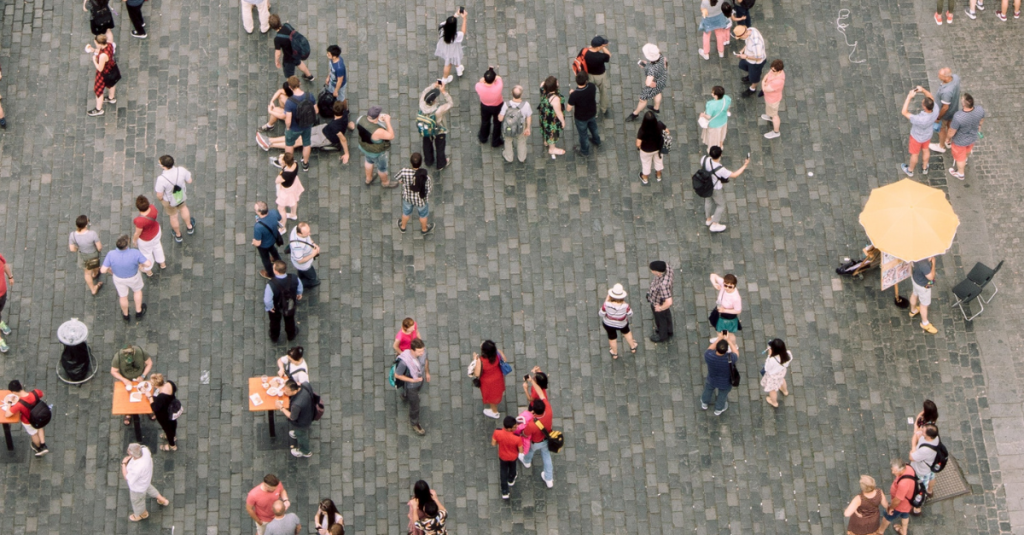
US Population Density by Zip Code, City, and State
About This Dataset
This free dataset provides census data for every zip code in the United States. It also includes the corresponding City, State, and latitude/longitude coordinates for the center of the zip code.
Sample Data Scroll table horizontally to view more
Zip
population
density
City
St
State
CitySt
County
Country
Coordinates
lat
long
92337
38868
1049.1
Fontana
California
CA
Fontana,CA
San Bernardino
US
34.0498, -117.4706
3.40E+01
-1.17E+02
92338
0
0
Ludlow
California
CA
Ludlow,CA
San Bernardino
US
34.7211, -116.16
3.47E+01
-1.16E+02
92339
1185
32.3
Forest Falls
California
CA
Forest Falls,CA
San Bernardino
US
34.0937, -116.9362
3.41E+01
-1.17E+02
92340
1185
32.3
Hesperia
California
CA
Hesperia,CA
San Bernardino
US
34.4264, -117.3009
3.44E+01
-1.17E+02
92341
203
22.4
Green Valley Lake
California
CA
Green Valley Lake,CA
San Bernardino
US
34.2348, -117.066
3.42E+01
-1.17E+02
92342
6508
23.4
Helendale
California
CA
Helendale,CA
San Bernardino
US
34.7499, -117.3367
3.47E+01
-1.17E+02
92344
23003
208.3
Hesperia
California
CA
Hesperia,CA
San Bernardino
US
34.4239, -117.4075
3.44E+01
-1.17E+02
92345
80808
370.5
Hesperia
California
CA
Hesperia,CA
San Bernardino
US
34.4222, -117.3025
3.44E+01
-1.17E+02
92346
61751
832.7
Highland
California
CA
Highland,CA
San Bernardino
US
34.1283, -117.2087
3.41E+01
-1.17E+02
Date Created: 11/1/2022
Date Modified: 12/9/2022
Time Range: Based on 2010 census data
Estimated Update Frequency: 2020 data available upon request
This dataset is best suited for operators in the marketing or advertising industry who are looking for population density data to inform marketing decisions.
The suggested use cases for this dataset include:
Evaluate geographic regions based on population
Inform expansion decisions for multi-location brands
Support other datasets
Enrichment Options
We utilize state-of-the-art AI and machine learning to enrich datasets further and provide predictive analytics for your important KPIs. Get in touch to learn more.
Enrichment opportunities for this dataset include:
We can provide additional services such as blending this data with your internal data, applying predictive analytics, and more. Get in touch to learn more.
Sample Data Scroll table horizontally to view more
Zip
population
density
City
St
State
CitySt
County
Country
Coordinates
lat
long
92337
38868
1049.1
Fontana
California
CA
Fontana,CA
San Bernardino
US
34.0498, -117.4706
3.40E+01
-1.17E+02
92338
0
0
Ludlow
California
CA
Ludlow,CA
San Bernardino
US
34.7211, -116.16
3.47E+01
-1.16E+02
92339
1185
32.3
Forest Falls
California
CA
Forest Falls,CA
San Bernardino
US
34.0937, -116.9362
3.41E+01
-1.17E+02
92340
1185
32.3
Hesperia
California
CA
Hesperia,CA
San Bernardino
US
34.4264, -117.3009
3.44E+01
-1.17E+02
92341
203
22.4
Green Valley Lake
California
CA
Green Valley Lake,CA
San Bernardino
US
34.2348, -117.066
3.42E+01
-1.17E+02
92342
6508
23.4
Helendale
California
CA
Helendale,CA
San Bernardino
US
34.7499, -117.3367
3.47E+01
-1.17E+02
92344
23003
208.3
Hesperia
California
CA
Hesperia,CA
San Bernardino
US
34.4239, -117.4075
3.44E+01
-1.17E+02
92345
80808
370.5
Hesperia
California
CA
Hesperia,CA
San Bernardino
US
34.4222, -117.3025
3.44E+01
-1.17E+02
92346
61751
832.7
Highland
California
CA
Highland,CA
San Bernardino
US
34.1283, -117.2087
3.41E+01
-1.17E+02
Who Is This Data For?
This dataset is best suited for operators in the marketing or advertising industry who are looking for population density data to inform marketing decisions.
The suggested use cases for this dataset include:
Evaluate geographic regions based on population
Inform expansion decisions for multi-location brands
Support other datasets
Enrichment Options
We utilize state-of-the-are AI and machine learning to enrich the datasets further and provide predictive analytics for your important KPIs. Get in touch to learn more.
Enrichment opportunities for this dataset include:
We can provide additional services such as blending this data with your internal data, applying predictive analytics, and more. Get in touch to learn more.